Configuring the "mini-map"
You can now configure the WMS server URL and the layer name into the HTML document that hosts the user interface. In the LAS distribution directory, the file you need to edit is WebContent/UI.vm. In the file will find 4 servers listed in the comments at the top of the file. To use one of these servers, edit the meta links below the comment and replace the content values with the URL and layer name you want to use. As far as I know these are all servers which will accept public connections from any web site, but if you have your own WMS server and base layer data set, you can use that as well. The WMS server needs to be able to return PNG images projected on the EPSG:4326 to work with LAS.
After you make the change in your LAS distribution you will have to redeploy the application to your Tomcat server (use the command "ant deploy"). If you just want to make the change temporarily directly in the deployed server you can edit the webapps/las/UI.vm file directly in the deployed directory and the new map will be used the next time the page is loaded. That change will get wiped out if you redeploy your LAS.
 <!--

 Default:

 WMS-SERVER: http://vmap0.tiles.osgeo.org/wms/vmap0
 WMS-LAYER: basic

 Alternatives:

 WMS-SERVER: http://www.gebco.net/data_and_products/gebco_web_services/web_map_service/mapserv
 WMS-LAYER: layer: GEBCO_LATEST

 WMS-SERVER: http://www.cmar.csiro.au/geoserver/ows
 WMS-LAYER: ea-be:World_Bright-Earth-e-Atlas-basemap

 WMS-SERVER: http://data.fao.org/maps/ows
 WMS-LAYER: COMMON:dark_bluemarble
 -->

 <meta content="http://vmap0.tiles.osgeo.org/wms/vmap0" name="WMS-SERVER" id="wms-server" />
 <meta content="basic" name="WMS-LAYER" id="wms-layer" />
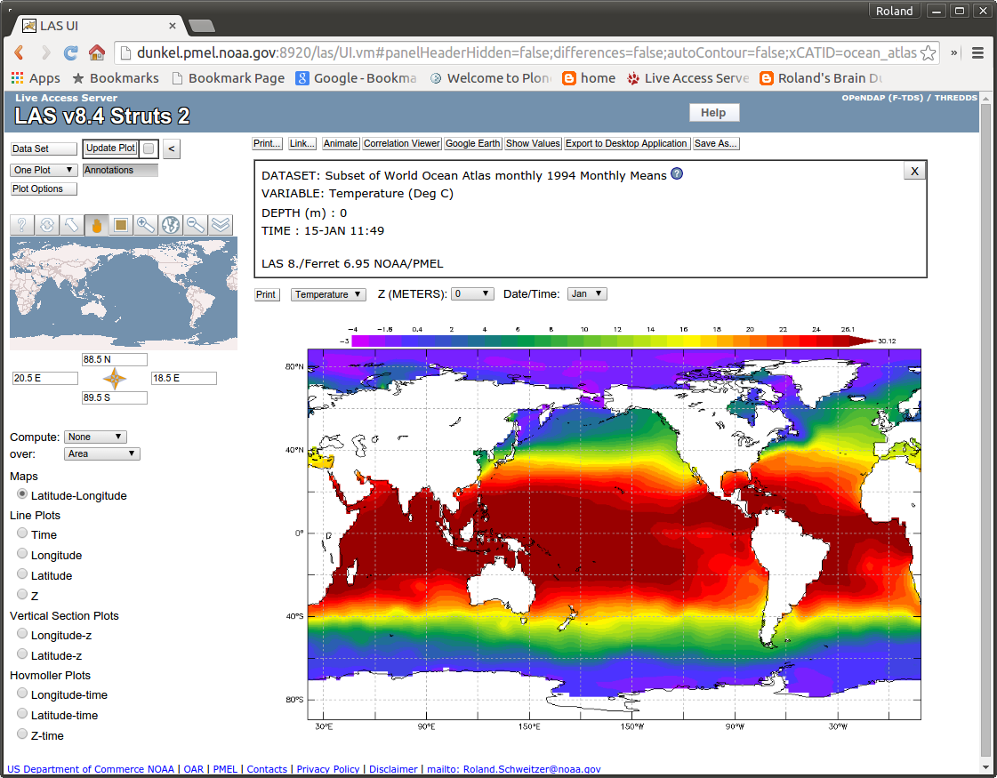
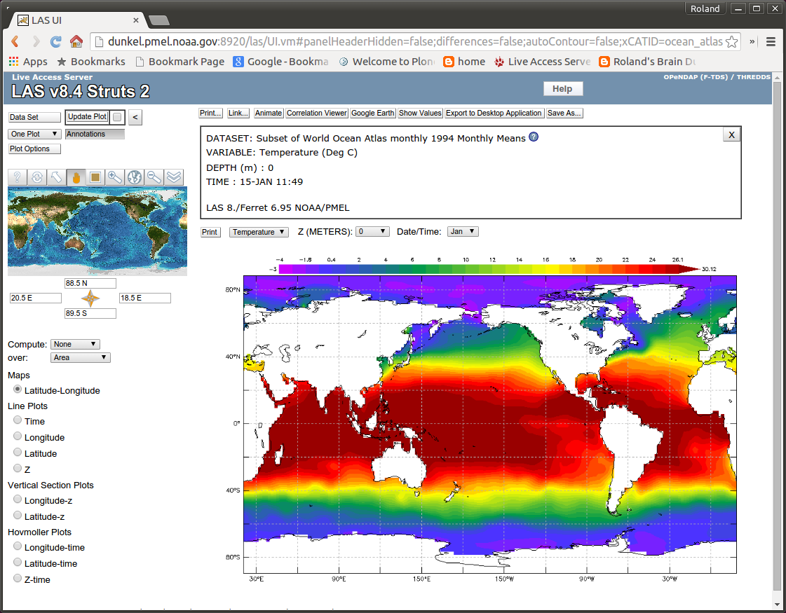
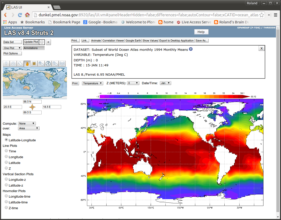
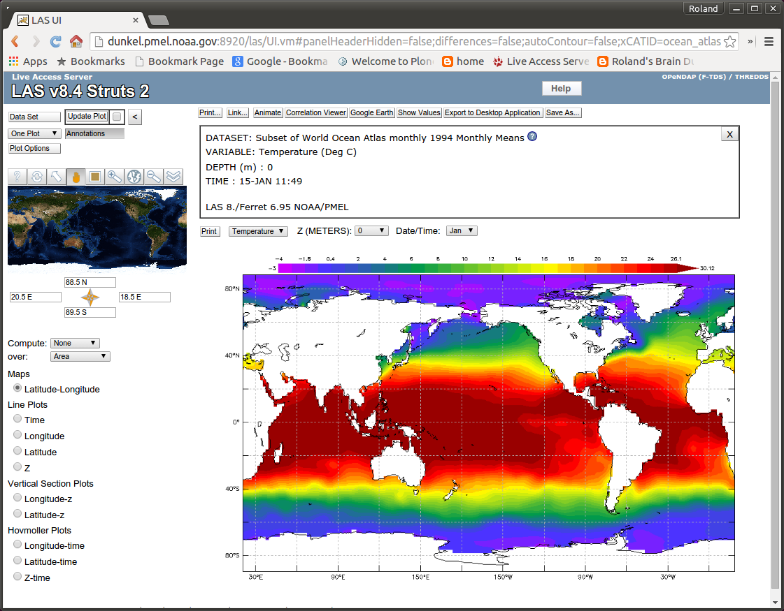
The 4 example maps are shown below.

The default base map.
WMS-SERVER: http://vmap0.tiles.osgeo.org/wms/vmap0
WMS-LAYER: basic

The first alternative base map.
WMS-SERVER: http://www.gebco.net/data_and_products/gebco_web_services/web_map_servic...
WMS-LAYER: layer: GEBCO_LATEST

The second alternative base map.
WMS-SERVER: http://www.cmar.csiro.au/geoserver/ows
WMS-LAYER: ea-be:World_Bright-Earth-e-Atlas-basemap

The third alternative base map.
WMS-SERVER: http://data.fao.org/maps/ows
WMS-LAYER: COMMON:dark_bluemarble


